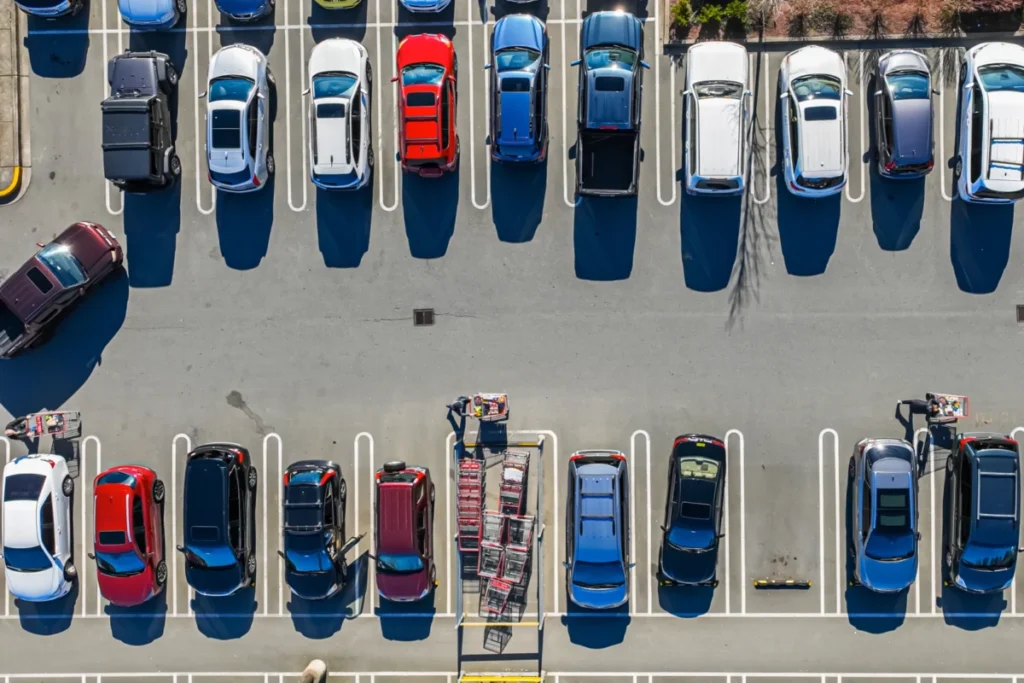
The daily grind of urban commuting often includes a familiar frustration: arriving at a destination only to find parking impossible to secure. Navigation apps, a ubiquitous tool for millions, typically guide drivers to their precise destination without factoring in the often-substantial time and effort required to find a parking spot. This oversight, according to researchers at the Massachusetts Institute of Technology (MIT), contributes significantly to urban congestion, increased emissions, and a dampened enthusiasm for public transportation. In response, a team of MIT engineers has developed a groundbreaking system designed to optimize travel routes by intelligently predicting parking availability, promising substantial time savings and a more efficient urban mobility experience.
The core of the problem lies in the current limitations of navigation technology. Most popular systems are designed to minimize the travel time from point A to point B, focusing solely on the direct route. They fail to account for the "last mile" challenge – the often-unpredictable and time-consuming process of finding a parking space. This leads to drivers circling blocks, contributing to traffic jams, increasing fuel consumption, and ultimately arriving later than anticipated. For many, the uncertainty and hassle of parking can even act as a deterrent to using public transit, as the perceived ease of driving and parking, however flawed, seems more straightforward than navigating public transport networks.
Recognizing this pervasive issue, researchers at MIT’s Laboratory for Information and Decision Systems (LIDS) and the Department of Civil and Environmental Engineering (CEE), in collaboration with the Institute for Data, Systems, and Society (IDSS), have engineered a sophisticated system that shifts the focus from the destination itself to the optimal parking area surrounding it. This innovative approach leverages predictive analytics and dynamic programming to guide drivers not just to their desired location, but to the parking lot that offers the best balance of proximity to their destination and the highest probability of securing a spot.
A Smarter Approach to Urban Navigation
The research, recently published in the Transactions on Intelligent Transportation Systems, details a probability-aware method that considers a multitude of factors. Unlike traditional navigation systems, this new approach analyzes all public parking lots within a reasonable radius of the intended destination. It meticulously calculates the driving distance from the origin to each potential parking lot, the walking distance from each lot to the final destination, and crucially, the likelihood of finding an available parking space.
"This frustration is real and felt by a lot of people, and the bigger issue here is that systematically underestimating these drive times prevents people from making informed choices," explained Cameron Hickert, an MIT graduate student and lead author of the paper. "It makes it that much harder for people to make shifts to public transit, bikes, or alternative forms of transportation."
The system employs a dynamic programming framework, working backward from desirable outcomes to determine the most efficient route. This means it doesn’t just aim for the closest parking lot; it identifies the lot that minimizes the total expected time, encompassing driving, parking, and walking.
Beyond Simple Proximity: Accounting for Real-World Parking Dynamics
A key innovation of the MIT system is its ability to account for the complex and often unpredictable dynamics of parking. It acknowledges that arriving at a seemingly ideal parking lot doesn’t guarantee a space. Therefore, the algorithm factors in the proximity of alternative parking lots and their respective probabilities of availability.
"If there are several lots nearby that have slightly lower probabilities of success, but are very close to each other, it might be a smarter play to drive there rather than going to the higher-probability lot and hoping to find an opening," Hickert elaborated. "Our framework can account for that."
Furthermore, the system incorporates the behavior of other drivers, recognizing that their actions directly impact an individual’s probability of parking success. This includes scenarios where another driver might secure the last spot in a preferred lot, or where the overflow from one crowded lot might increase demand in adjacent ones.
"With our framework, we show how you can model all those scenarios in a very clean and principled manner," Hickert stated. This sophisticated modeling allows the system to provide a more realistic and actionable recommendation, moving beyond a simplistic "find parking" directive.
The Power of Crowdsourced Data
The effectiveness of any predictive system hinges on the quality and availability of data. While some parking facilities are equipped with sensors or gates that track occupancy, these are not universally deployed. To address this, the MIT researchers explored the feasibility of using crowdsourced data, a more accessible and scalable solution for widespread implementation.
This crowdsourced data could be gathered through various means. Users of a navigation app could manually indicate available parking spots or report a lack thereof. Vehicle tracking could identify cars circling for parking or those that enter a lot and exit without success. In the future, the researchers envision autonomous vehicles playing a role, reporting open parking spots as they pass by.
"Right now, a lot of that information goes nowhere. But if we could capture it, even by having someone simply tap ‘no parking’ in an app, that could be an important source of information that allows people to make more informed decisions," Hickert emphasized.
Empirical Evidence: Significant Time Savings Demonstrated
To validate their approach, the MIT team conducted simulated tests using real-world traffic data from the Seattle area. These simulations mimicked congested urban environments and less busy suburban settings at different times of day. The results were compelling.
In the most congested urban scenarios, the new navigation system achieved time savings of up to 66 percent compared to the traditional method of simply driving to the destination and then searching for parking. This translates to an average reduction of approximately 35 minutes for a motorist, a substantial improvement over waiting for a spot to become available in the closest parking lot. Even when compared to a strategy of continuously driving to the next closest available lot, the MIT system still demonstrated significant improvements, cutting total travel time by about 20 percent in congested settings.
The researchers also assessed the reliability of crowdsourced parking availability data. Their findings indicated that such data, when aggregated, could achieve an error rate of only about 7 percent compared to actual parking availability. This suggests that crowdsourced information is a viable and effective method for building the probability models essential for the system’s success.
Broader Implications and Future Directions
The implications of this research extend beyond mere convenience for individual drivers. By reducing the time spent searching for parking, the system directly addresses a significant contributor to urban traffic congestion. Less time spent circling means fewer vehicles on the road, leading to smoother traffic flow, reduced travel times for all road users, and a decrease in harmful emissions.
"Transportation systems are so large and complex that they are really hard to change," noted Cathy Wu, the senior author on the paper, an Associate Professor of Civil and Environmental Engineering and a member of LIDS. "What we look for, and what we found with this approach, is small changes that can have a big impact to help people make better choices, reduce congestion, and reduce emissions."
The potential to encourage shifts to public transit is another critical aspect. When driving and parking are demonstrably more time-consuming and frustrating than anticipated, individuals may be more inclined to consider alternatives like buses, trains, or ride-sharing services. This research provides a data-driven foundation for making those alternatives more attractive and competitive.
The MIT team is optimistic about the future of their system. While the current work is based on simulations, the demonstrated viability of the approach opens the door for real-world implementation. Future research plans include conducting larger-scale studies that incorporate real-time route information across entire cities. They also aim to explore additional data acquisition methods, such as analyzing satellite imagery to estimate parking occupancy, and further quantify the potential emissions reductions achievable with widespread adoption of their system.
The research was supported by grants from Cintra, the MIT Energy Initiative, and the National Science Foundation, underscoring the recognized importance of addressing urban mobility challenges.
A Paradigm Shift in Navigation
The development of this intelligent navigation system by MIT researchers signifies a potential paradigm shift in how we approach urban travel. By acknowledging and intelligently addressing the often-overlooked challenge of parking, the system promises to not only save drivers time and reduce their stress levels but also contribute to a more sustainable and efficient urban environment for everyone. The days of arriving at your destination only to begin a secondary, often frustrating, journey to find a parking spot may soon be a thing of the past, thanks to these innovative advancements.